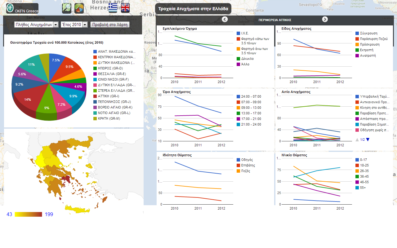
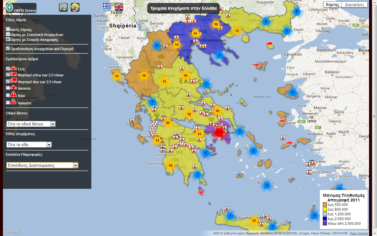
In an effort to promote the usefulness of open data, OKFN Greece presents the application Road Accidents in Greece.To create the application, open data provided by public services combined with open data provided by citizens and are presented on a map with statistical details. .
- The Hellenic Ministry of Citizen Protection has been providing open data on traffic accidents on Greek roads since 2010. There is an annual file in .xls format with details (such as type of vehicle, cause and location of accident, age of victim etc) for every fatal accident that has happened on Greek roads. Unfortunately, such detailed information is not available for non-fatal accidents. There is only an .xls file that provides the numbers of accidents and victims per geographic region, and the severity (fatal, serious or slight).
- In addition, the Hellenic Statistical Authority also provided data for the latest population census. However, although a vast amount of data (such as sex, age, educational level, job details, and vehicles owned) were collected through this census, these data are not publicly available
- Finally, since 2007 pois.gr has enabled people to register dangerous points on Greek roads using GPS devices.
All these data have been collected, refined, augmented, modelled and linked according the semantic web principles and are publicly available at opendatahub.gr.

The application presented here has been built with these linked data. The app has a twofold purpose. First, it shows the usefulness of open data and how data processing and visualization can inform people and support them in their decision making processes. Second, and more importantly, it aims to convince public authorities to publish more and better data, since more diverse data allows for better applications to be created.


The link “Road Accidents in Greece” redirects to http://crashmap.okfn.org/ instead of http://crashmap.okfn.gr/. Anyway great job!
Thank you.
Took more more than a year unfortunatelly but your comment eventually has been addressed.